Summer in the Midwest is full of all sorts of weather events, but few pack the destructive power of a phenomenon known as a “derecho.”
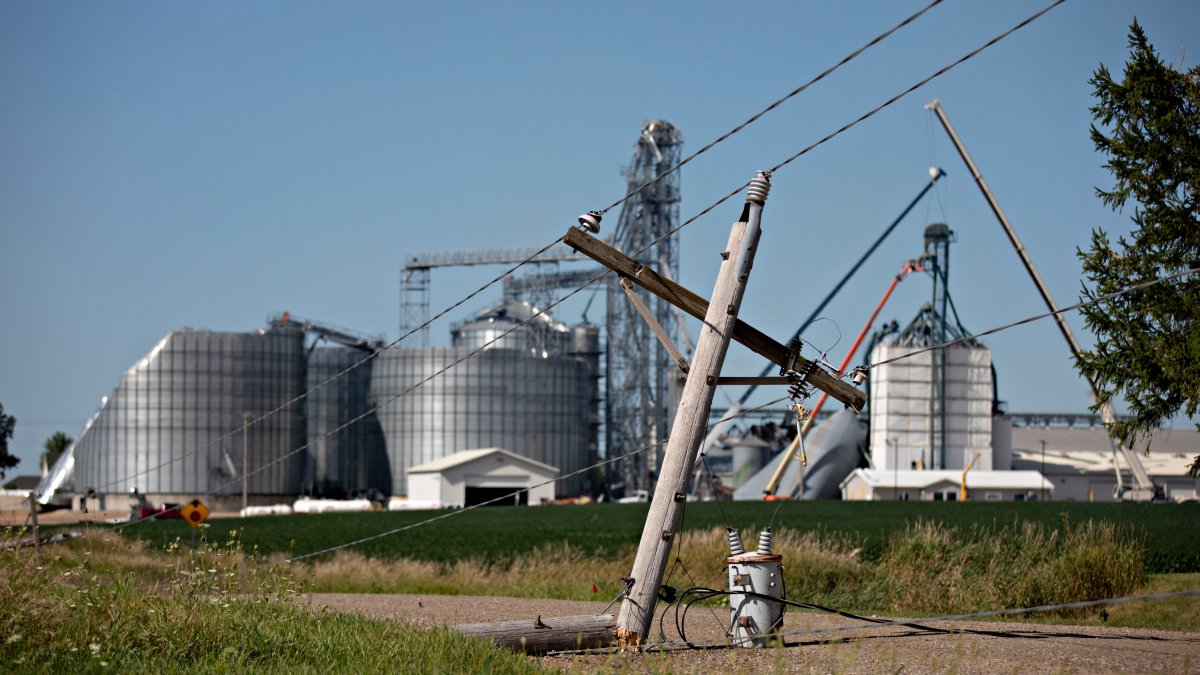
The mass of straight-line winds can cause breathtaking damage, destroying buildings, leveling farm fields and leaving thousands of residents without electricity.
According to the National Weather Service, a derecho is a widespread, long-lived wind storm associated with rapidly moving showers and thunderstorms.
A derecho can cause wind speeds typically seen in tornadoes, but does so in one direction along a “straight swath,” according to the NWS.
To be defined as a “derecho,” the wind damage swath must extend more than 240 miles and must include wind gusts of at least 58 miles per hour along its length.
According to NWS data, derechos are most common between May and July, when nearly two-thirds of the events have historically occurred.
Derechos develop with a so-called “bow echo.” Thunderstorms experience a phenomenon called “updrafts” early in their formation, when warm surface air rises until condensation begins forming, ultimately transitioning to rain.
This forces cool air toward the ground on the back end of a storm, which has the effect of generating strong winds near the ground, according to researchers at South Dakota State University.
As the line of storms strengthens, updrafts continue on the edge of the storm and the mass of rain-cooled air at the surface expands the storm horizontally, pushing it forward more quickly and generating higher wind speeds. In certain instances, those winds sustain for hundreds of miles, and are considered derechos.
According to the NWS, Illinois averages one derecho each year, with slightly higher rates occurring in an area that includes parts of Kanas, Missouri, Oklahoma and Arkansas.
It is not known if Monday’s severe weather in the Chicago area was part of a derecho, but the National Weather Service will release findings in coming days.


